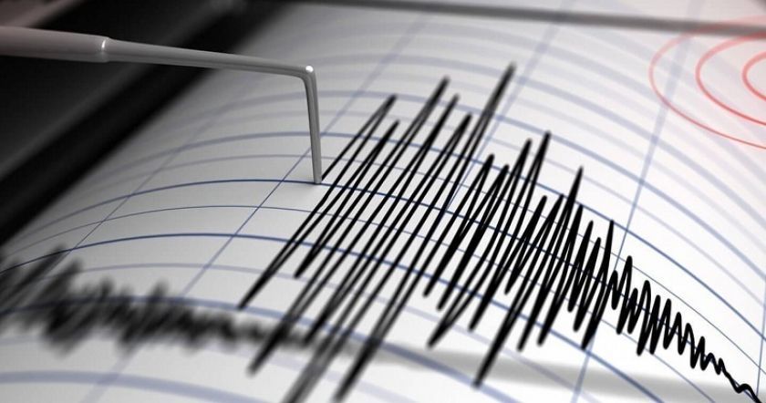
Earthquake 12 km Southeast of Yerevan

On 17 February, at 07:26 local time (03:26 GMT), the seismological network of the Territorial Service for Earthquake Protection of the RA Ministry of Emergency Situations registered an earthquake (aftershock) with a magnitude of 2.0 at geographic coordinates 40.10⁰ north latitude and 44.57⁰ east longitude, 12 km southeast of the city of Yerevan, Armenia, at a focal depth of 10 km. This was reported by the Department of Information and Public Relations of the RA Ministry of Emergency Situations.  The intensity of the underground tremor at the epicentre was 2-3 degrees. The earthquake (aftershock) was felt in the cities of
17 February 2021
1 min read
Երկրաշարժ Երեւանէն 12 քմ հարաւ-արեւելք

On 17 February, at 07:26 local time (03:26 GMT), the seismological network of the Territorial Service for Earthquake Protection of the RA Ministry of Emergency Situations registered an earthquake (aftershock) with a magnitude of 2.0 at geographic coordinates 40.10⁰ north latitude and 44.57⁰ east longitude, 12 km southeast of the city of Yerevan, Armenia, at a focal depth of 10 km.

This was reported by the Department of Information and Public Relations of the RA Ministry of Emergency Situations. 

The intensity of the underground tremor at the epicentre was 2-3 degrees.

The earthquake (aftershock) was felt in the cities of Yerevan and Artashat with an intensity of 2 degrees.


ՀՀ վարչապետ Նիկոլ Փաշինեանը Գիւմրի է
Previous Story

RA Prime Minister Nikol Pashinyan in Gyumri

Ատրպէյճանի փոխանցած 106 աճիւններն անճանաչելի են
Next Story

The 106 Bodies Handed Over by Azerbaijan Are Unrecognizable

Go toTop