Earthquake 16 km Northeast of Bavra Village in Shirak Province

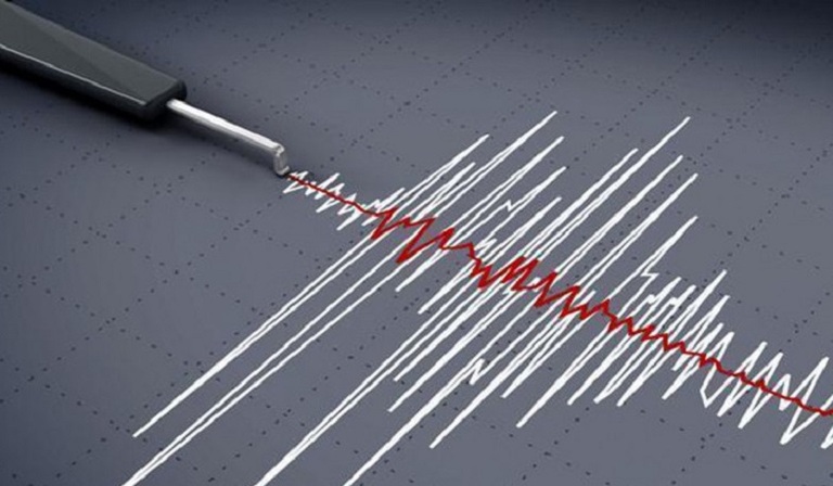
On 16 August, at 05:44 local time, an earthquake with a magnitude of 4.5 was recorded by the seismological network of the Territorial Service for Seismic Protection of the RA Ministry of Emergency Situations, with geographic coordinates of 41.22° northern latitude and 43.94° eastern longitude, in the Georgia-Armenia border zone, 16 km northeast of Bavra village, at a focal depth of 10 km. The intensity of the ground shaking at the epicenter was 6 on the scale. The earthquake was felt in the Shirak and Lori provinces of the Republic of Armenia with an intensity of 4-5, and in the
16 August 2021
1 min read
Երկրաշարժ Շիրակի մարզի Բավրա գիւղէն 16 քմ հիւսիս-արեւելք

On 16 August, at 05:44 local time, an earthquake with a magnitude of 4.5 was recorded by the seismological network of the Territorial Service for Seismic Protection of the RA Ministry of Emergency Situations, with geographic coordinates of 41.22° northern latitude and 43.94° eastern longitude, in the Georgia-Armenia border zone, 16 km northeast of Bavra village, at a focal depth of 10 km.

The intensity of the ground shaking at the epicenter was 6 on the scale.

The earthquake was felt in the Shirak and Lori provinces of the Republic of Armenia with an intensity of 4-5, and in the Tavush province with an intensity of 3-4.


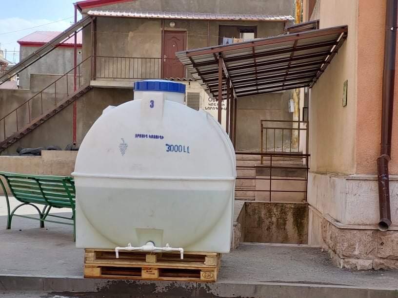
Կարմիր խաչի աջակցութեամբ ջրամբարներ տեղադրուած են Ստեփանակերտի ջրազուրկ բնակելի շէնքերուն մօտ
Previous Story

Water reservoirs installed with Red Cross support near waterless residential buildings in Stepanakert

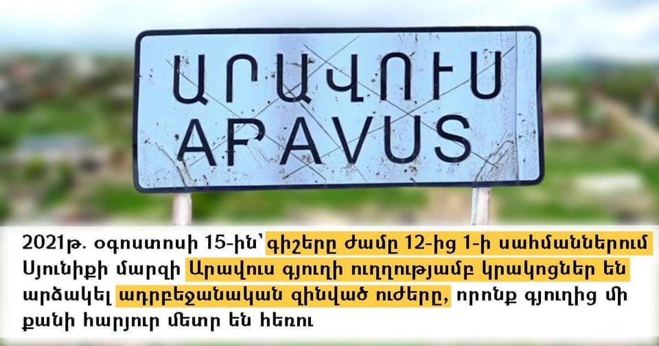
Ատրպեճանական զինուած ուժերը կրակոցներ արձակած են Արավուս գիւղի ուղղութեամբ. ՄԻՊ
Next Story

Azerbaijani Armed Forces Fire Shots in the Direction of Aravus Village: Human Rights Defender

Go toTop