Earthquake Near the Town of Jermuk

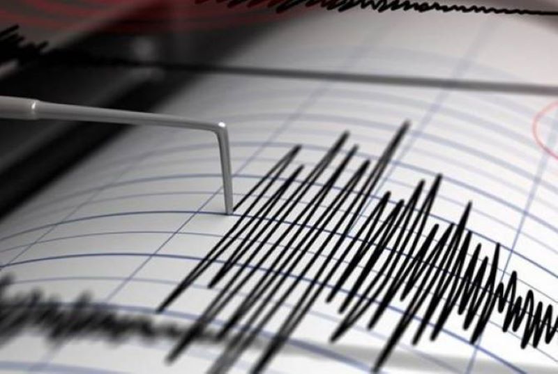
On 18 January, at 18:12 local time (14:12 Greenwich Mean Time), the Territorial Service for Seismic Protection of the RA Ministry of Emergency Situations registered an earthquake with geographic coordinates of 39.80⁰ north latitude and 45.55⁰ east longitude, 10 km west of the town of Jermuk in the Vayots Dzor Province of Armenia, at a focal depth of 10 km, with a magnitude of 1.9. This was reported by the Department of Information and Public Relations of the RA Ministry of Emergency Situations. The intensity of the underground tremor at the epicentre was 2-3 degrees. The earthquake was felt in
19 January 2021
1 min read
Երկրաշարժ՝ Ջերմուկ քաղաքին մերձ

On 18 January, at 18:12 local time (14:12 Greenwich Mean Time), the Territorial Service for Seismic Protection of the RA Ministry of Emergency Situations registered an earthquake with geographic coordinates of 39.80⁰ north latitude and 45.55⁰ east longitude, 10 km west of the town of Jermuk in the Vayots Dzor Province of Armenia, at a focal depth of 10 km, with a magnitude of 1.9. This was reported by the Department of Information and Public Relations of the RA Ministry of Emergency Situations.

The intensity of the underground tremor at the epicentre was 2-3 degrees.

The earthquake was felt in the villages of Herher and Karmrashen in the Vayots Dzor Province, with an intensity of 2-3 degrees.

Ռուս խաղաղապահները իրենց առաքելութիւնը կ՚իրականացնեն նաեւ Մարտակերտի մէջ
Previous Story

Russian peacekeepers carry out their mission also in Martakert

Ատրպէյճանցիները քանի մը օր առաջ սպաննած են գերեվարուած 44–ամեայ տղամարդը ու թաղած Հատրութի մէջ
Next Story

Azerbaijanis Killed a 44-Year-Old Captive a Few Days Ago and Buried Him in Hadrut

Go toTop